Excerpt from picture below focusing on the Mississippi and Missouri Rivers. L'Isle, Guillaume de. "Carte de la Louisiane et du cours du Mississipi." 1718, Library of Congress Geography and Map Division, Washington, https://www.loc.gov/resource/g3700.ct000666/?r=0.448,0.246,0.372,0.329,0.
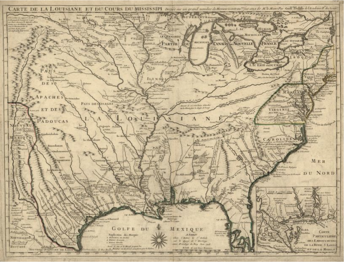
European contact in the area that is today know as Missouri began in the late 1600s when French explorers traveled along the Mississippi River. One of the earliest maps of this area was created in 1718 by Guillaume de L’lsle, and his map actually shows much of United States with a large emphasis on the rivers and waterways.
In comparison, a map from today shows that there are two larger rivers/waterways intersecting the area north of the Missouri River than were shown on the map from 1718.
While the first two maps do not predate European contact, they seems to focus more on the land as it’s own property and not as something to be owned by people which is similar to the views of the Ioway, and most Native American tribes. In contrast, many other maps focus on the 1800s when U.S. settlers were moving into the area and claiming land. These maps were divided by artificial lines marking ownership and counties.
Also, rivers were seen as a means of travel by many Native tribes as well as early European colonists such as the French. It was often easier to cross a river (Aron), especially because many of the rivers such as the Missouri were much wider and slower than they are today because they had not yet been trenched, rather than travel across land.
L'Isle, Guillaume de. "Carte de la Louisiane et du cours du Mississipi." 1718, Library of Congress Geography and Map Division, Washington, https://www.loc.gov/resource/g3700.ct000666/?r=0.448,0.246,0.372,0.329,0.
Map of Major Rivers in the Midwest. Shannon1. "Mississippiriver-new-01." 26 February 2016, Wikimedia Commons, https://commons.wikimedia.org/wiki/File:Mississippiriver-new-01.png. CC BY-SA 4.0.
To learn more about the role of the rivers and how they helped lead to the Dispossession of Ioway, Missouria, and Otoe lands, click on the link below.