Shanté Markman. 2018.
Emily Stock. 2018.
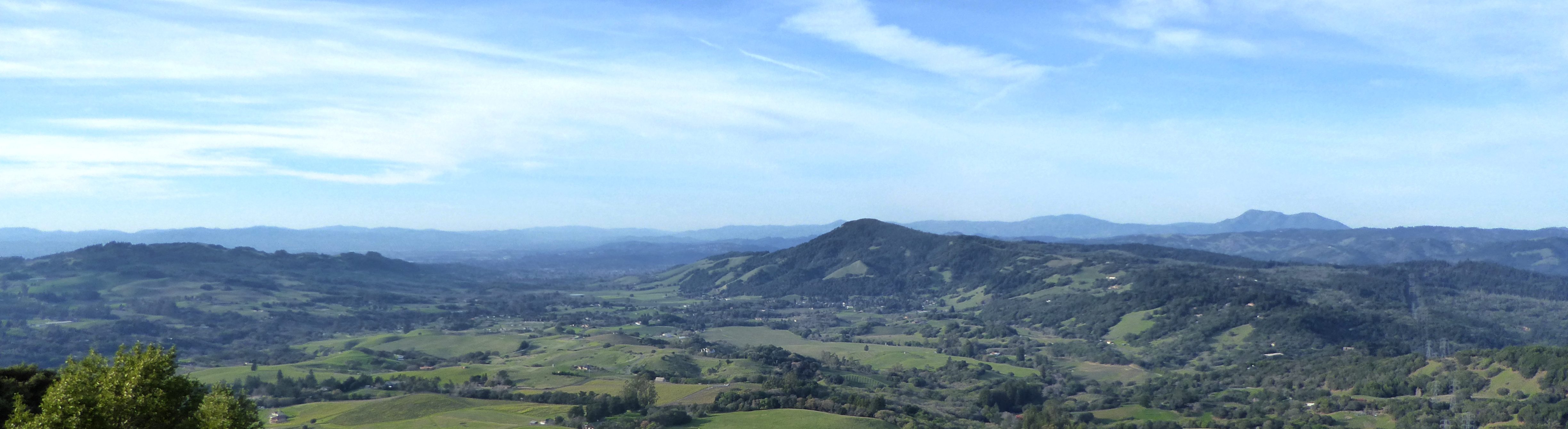
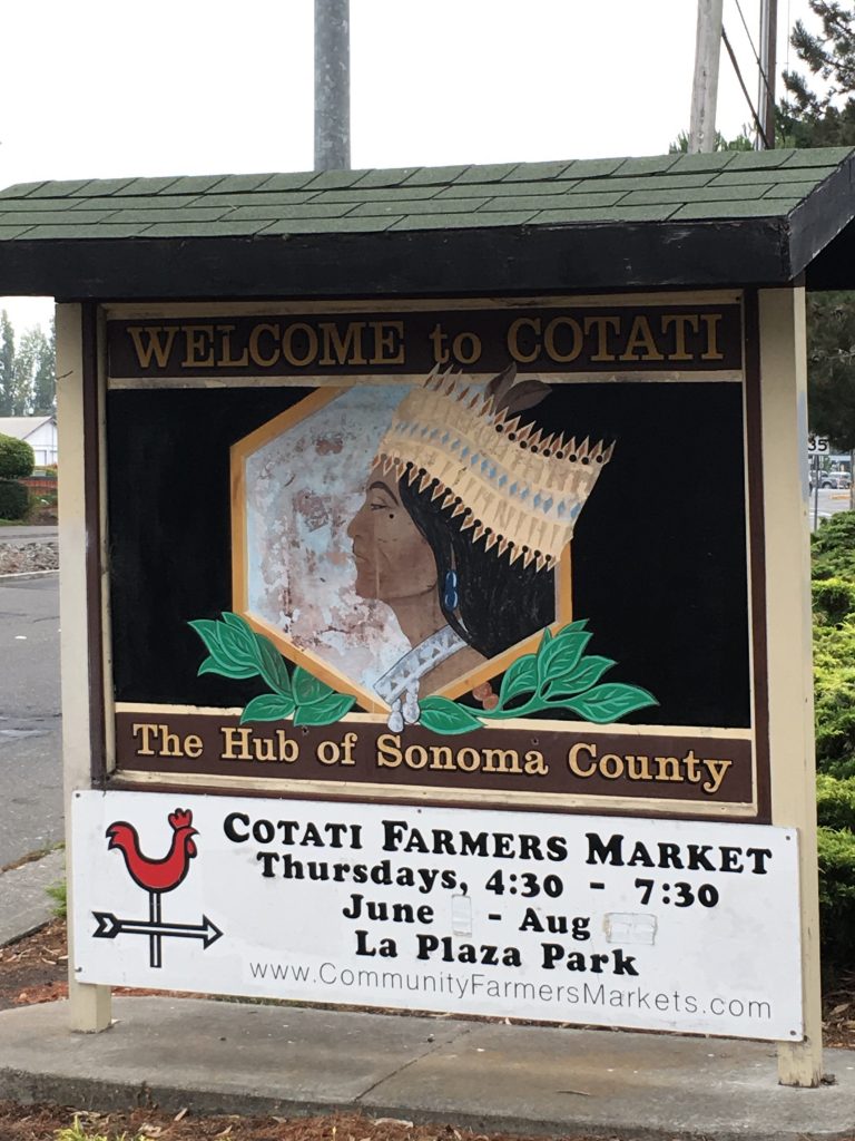
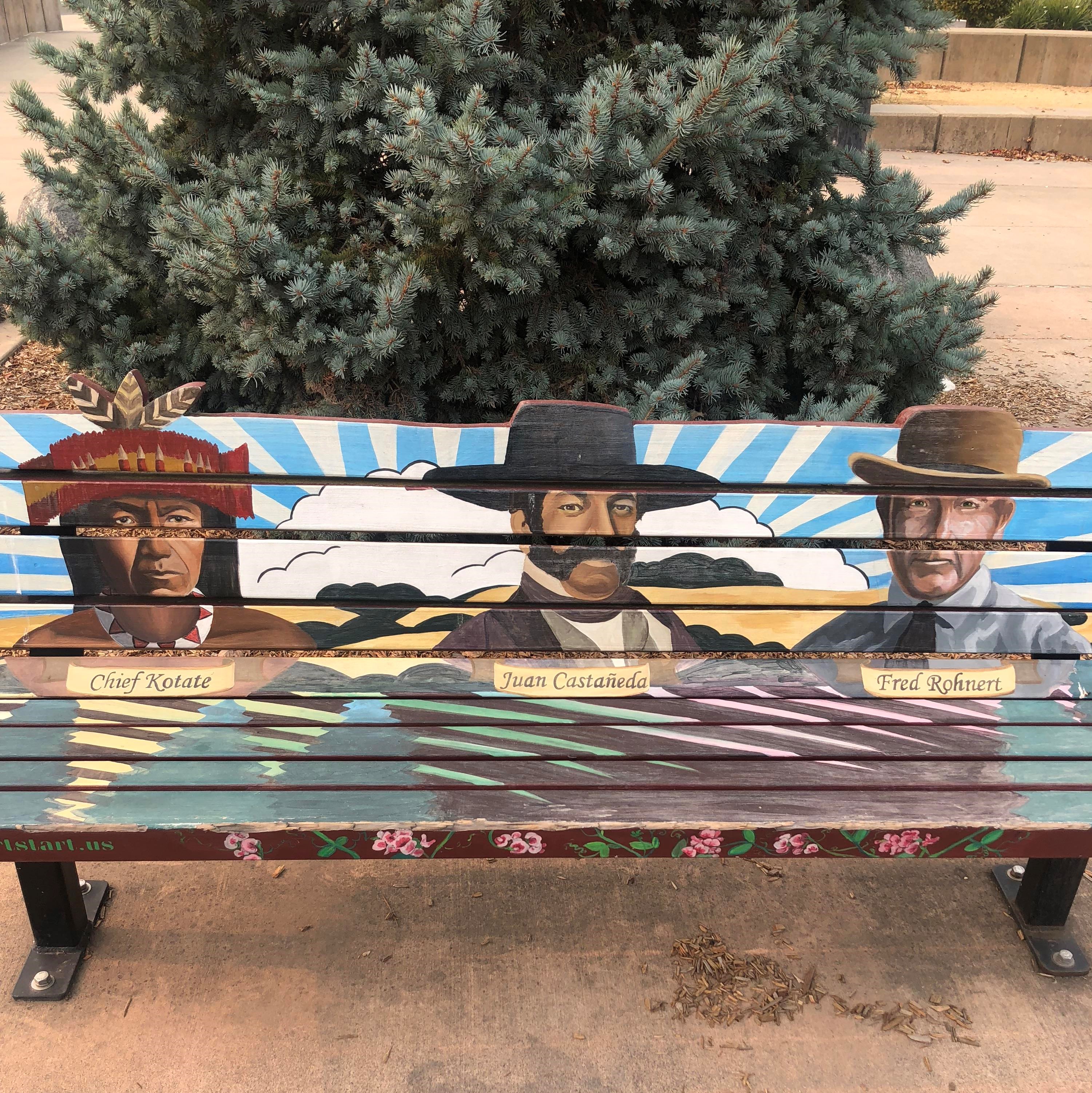
Although the town mascot of Cotati is an image of Chief Kota’te, the Federated Indians of Graton Rancheria have written that traditional social structure within Coast Miwok society did not include chiefs. Kota’te instead refers to a village or tribelet of Coast Miwok who lived in the area. These maps show the boundary between linguistically separate groups, and you can see the range of what was considered Coast Miwok territory. Very few tribes in California practiced agriculture; instead, careful land management, including controlled burning, selective planting, and attentive pruning encouraged bountiful harvests and ensured ample grazing lands for fauna (Goerke 2007). The area where Rohnert Park is today is temperate and resource-rich with several sources of freshwater. Copeland Creek, which is now largely channelized, runs from Sonoma Mountain, right through the Sonoma State campus; this would most likely have been an important source of water for leeching the tannins from acorns, an important dietary staple for the people who lived in the villages at the foot of the mountain.
According to the records kept at the missions in San Rafael, there appear to have been four Coast Miwok communities in what Randall Milliken identifies as the Cotati/Bloomfield region: Tamalsimela, Licatiut, Oleyomi, and Geluayomi. Each of these communities may have had fewer than sixty inhabitants; combined, the four groups had 118 people in the mission registers (Milliken 2009). Based on these records, Milliken writes that by 1817, the communities in the Cotati/Bloomfield region were still intact: no members of these communities were in the mission’s records until April of 1818. This doesn’t mean that the effects of Spanish/Mexican colonial contact hadn’t reached this area, just that missionaries hadn’t yet been successful. It wasn’t until 1821 that significant numbers of people from this area were baptized in the San Rafael mission. In 1837 the first Anglo settler moved to the area, but when Coast Miwok burned his crops he retreated to Mill Valley in Marin County. Juan Castaneda received a land grant for 11,000 acres in what is now Rohnert Park/Cotati; under Mexican land grants at the time it was understood that any Native people living on the land were included in the grant.
Milliken estimates that 60% of the population in this area died as a result of contact with European diseases, and several more entered the mission in San Rafael. But when the missions closed in 1834, some Indians went back to their ancestral homes if they were able to. We may not know the whole story of what happened in this area, but we know there are Coast Miwok here today.