KEENE, NEW HAMPSHIRE
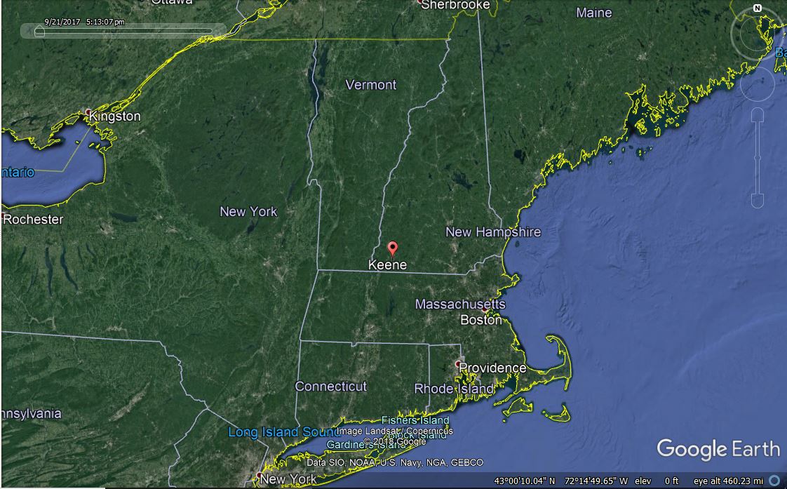
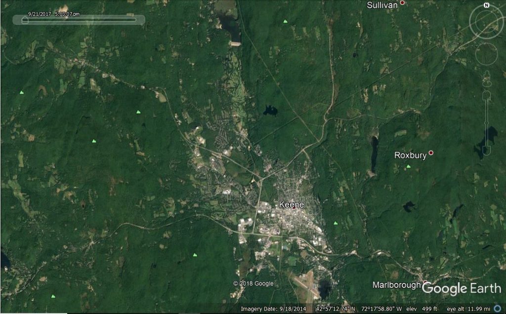
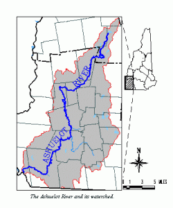
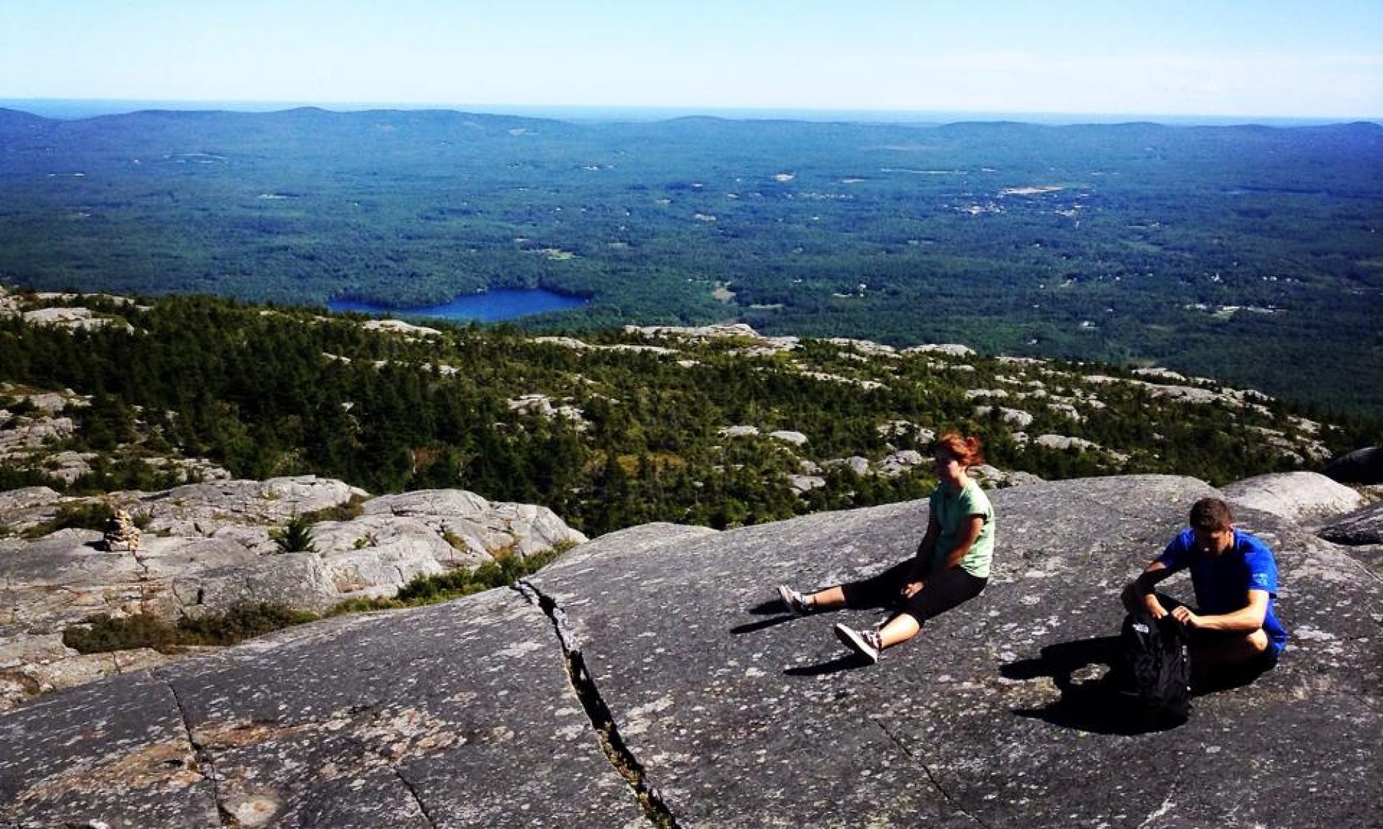
Keene, NH is located just north of New Hampshire’s southern border. The small city a two-hour car ride from Boston, Massachusetts. The city sits in the valley between three large hills (See figure 2) with-in the Ashuelot watershed. As recently as 11,000 years the Keene valley was underwater as part of a glacial lake. When the iced-age ended, the glaciers melted, and the lake drained, leaving behind a 64-mile long river that cuts through the south-west corner of New Hampshire (See Fig. 3). This proves interesting when presented with the evidence of Abenaki people living in Keene as recently as 9,000 years ago. The region that Keene is associated with is the “Monadnock Region” Mount Monadnock is a 3,000-foot-tall mountain that beautifully overlooks the towns and cities around it.
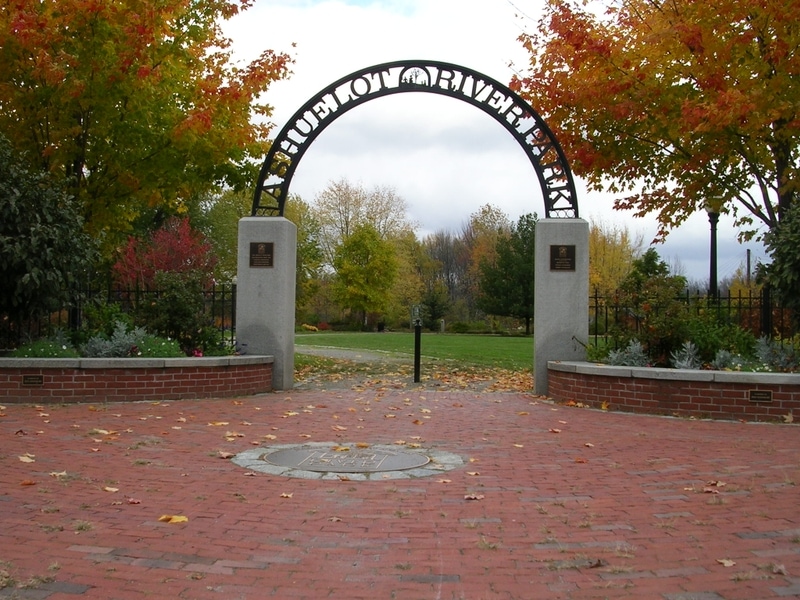
Ashuelot is Native American word that means “River”, thought could also be used to describe “a land in between places.” Marge Bruchac from the Cheshire Historical Society writes “…referring to the flat land between the surrounding mountains, criss-crossed with trails that lead to other familiar places.” (2006). Monadnock is derived from the Algonquin word “M’an-and-noc” that means “Mountain standing alone” (Kokx, 2003). Many businesses and land mark names with-in the city of Keene often adopt a version of Ashuelot or Monadnock. For example The Ashuelot River Park (See Fig. 4) was built on the Ashuelot river after the mills down-town closed in the early 20th century. More recently, one business owner on Main Street named his business “Monadnock Imaging” (See Fig. 5) in reference to being located in the region (The owner is originally from Connecticut).

Dorothy Arroyo – September 5, 2018
Work Cited
Bruchac, Margaret. Abenakis at the Ashuelot: The Sadoques Family and Keene. (2006, September). Retrieved at: https://repository.upenn.edu/cgi/viewcontent.cgi?article=1141&context=anthro_papers
Department of Resources and Economic Development, Division of Parks and Recreation. Monadnock State Park Master Plan. (2003, April 1). Retrieved from: http://citeseerx.ist.psu.edu/viewdoc/download?doi=10.1.1.691.6280&rep=rep1&type=pdf
New Hampshire Department of Environmental Services. The Ashuelot River. (2017). Retrieved at: https://www.des.nh.gov/organization/divisions/water/wmb/rivers/ash_river.htm