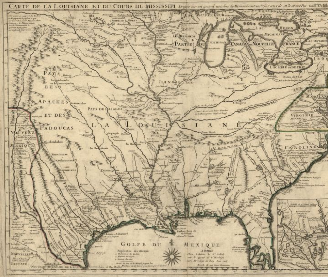
European contact in the area that is today know as Missouri began in the late 1600s when French explorers traveled along the Mississippi River. One of the earliest maps of this area was created in 1718 by Guillaume de L’lsle, and his map actually shows much of United States with a large emphasis on the rivers and waterways.
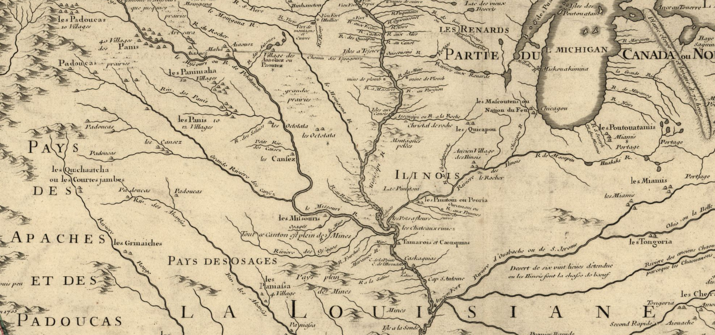
A more close-up look of the Northern Missouri area shows how the land of the Ioway was between three major rivers.
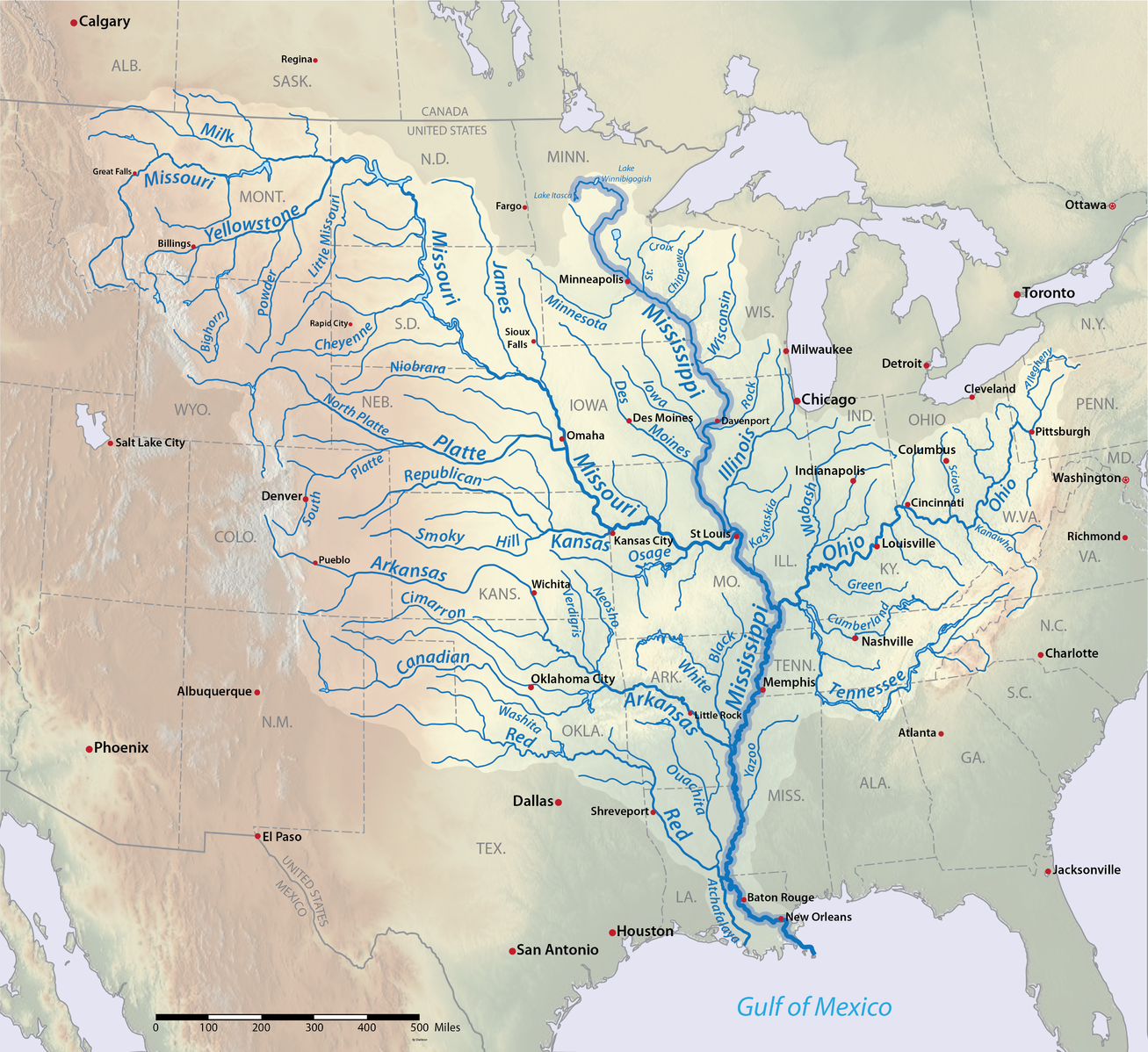
In comparison, a map from today shows that there are two more rivers/waterways intersecting the area north of the Missouri River than were shown on the map from 1718.
While the first two maps do not predate European contact, they seems to focus more on the land as it’s own property, and not as something to be owned by people which is similar to the views of the Ioway, and most Native American tribes. In contrast, many of the other maps that I found focused on the 1800s when U.S. settlers were moving into the area and claiming land. The maps were divided by artificial lines marking ownership and counties.
Links to Pictures:
https://www.loc.gov/resource/g3700.ct000666/?r=0.448,0.246,0.372,0.329,0
https://commons.wikimedia.org/wiki/File:Mississippiriver-new-01.png